30 July 2020

Trying to get somewhere and still be sailing

July 30th    Bodø - Bolga

 With several boats lying outside of each other on each spot on both piers in the small basin I was at it took some tome to untangle everybody but eventually I was free - to go to the fuel dock and refill.

Being a sailboat with moderate diesel consumption that didn't tak too long either and soon I had passed the mole and was free to unfurl the sails and fully enjoy the beautiful summer day. 

When I got into the sounds south of Saltfjorden the mountains shielded for the northeasterly wind and engine had to replace the sails to get any progress. 

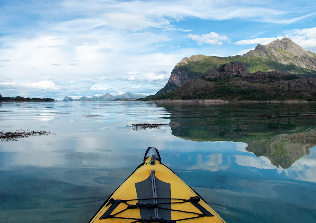
At a day like today in the landscape I passed engine noise wasn't able to tarnish the day. The noise is the prize that has to be payed for the experience of gliding to mirror flat water and the mountains reflecting on said flat water.

Further south the wind made a short revisit and some more sailing was possible.


In weather like today there are spectacular panoramas to be had almost everywhere along the coast of Nordland, but this view with the Svartisen glacier is not among the worst.


Todays trip ended at Bolga.
Sunsets and sandy beaches seems to be a favourite for sailors everywhere judging from instagram and blogpost and youtube videos from fellow sailors. In Northern Norway in general as here on Bolga the potential for spectacular beach sunsets are enormous, pity that the water temperature does not invite to any time wise measurable bathing.


29 July 2020

Perfect wind? and fresh from the Netherlands - a new chart plotter.

 July 28th - July 29th    Kjerringøy - Bodø


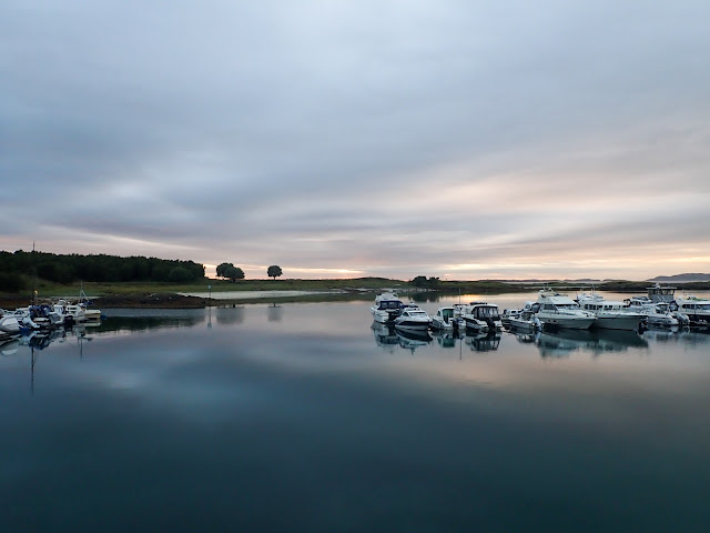
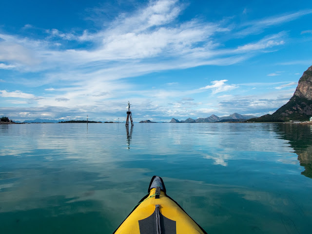
Almost prefect wind conditions through the day. A windless morning made for an early paddle, breeze on the border to gale for the sail down to Bodø and windless again for the docking.

During the sail down I was to preoccupied with the sailing to take any pictures so I only can offer images from the dead calm. 

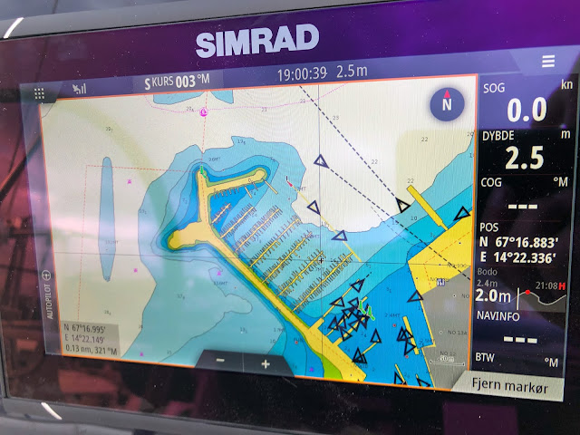
The main reason for going to Bodø today was that my chart plotter was arriving from the Navico distribution centre that I was told lies in the Netherlands. On the sail down here in choppy seas and double digits (in m/s) winds the advantage of having the chart plotter and the autopilot connected became obvious. The sail was on a close reach and on the way I had to pass a gap in a line of skerries between the mainland and the island Landegode. To find the right one early enough to avoid having to go higher to the wind (and getting overpowered) wasn't easy when I had to extrapolate the direction from the iPad. And the seas was to choppy to find the lighthouse at the right pass through the binocular. In the end my extrapolation turned out right and I got another reminder of the skills of sailors of earlier ages.


On tuesday afternoon Tina from TT Marine came and test fitted the chart plotter. On wednesday she came back and did the final installation even with a new custom plexiglass sheet to mount it to the pedestal.

With a new chart plotter I had to download new electronic charts. A task that should have been simple but that turned out to be more difficult. Garmin had been hacked and their entire online solution including the newly acquired Navionics site was down. And to download the alternative C-Map I couldn't find a solution that didn't require a windows PC, which I with my affinity for fruits only have at work. In the end I could borrow a computer from a neighbours boat and download the appropriate C-Map.


At the docks in Bodø the the old motor fishing vessels Rapp and Faksen lay side by side. Faksen was built in 1916 by the legendary ship builder Nils Skandfer i Mosjøen and after more than 80 years in service for the Pedersen family of Bliksvær outside Bodø it was transferred to Salta coast culture society in Bodø. M/S Rapp was built 1913 in Risør for a Swedish customer, but it was sold to Austevoll in 1916. Today the boat is home-ported in Stavanger.

27 July 2020

In the land of literary greatness

July 26th - 27th    Nordskot - Kjerringøy

With plenty of time until the estimated delivery of the chart plotter I had ordered in Bodø i cut my sail short today too, and stopped over at Kjerringøy.

Kjerringøy is or is said to be the scene of several of Knut Hamsuns novels.  On an earlier visit here (by car) I went to the old trading post and the guided tour there , so I skipped that this time, COVID and all. 


In the kayak I got to see the post from the side most visitor came back in the day. The kayak since the sound outside is to shallow for sailboats.The shallowness is even the reason for the demise of the trading post and the subsecuent preservation of the buildings and interiors.

On bike and in kayak it was obvious that Kjerringøy has the potential to inspire artistic greatness - I however is only able to achieve this simple blog.

Climbing Strandåtind (one of few peaks in Norway more difficult than Rulten) is not for me, but admiring it form below is.

On the way here I met one of the preserved rescue boats. Built in 1920 for the Norwegian Sea Rescue Society from drawings made by the legendary Colin Archer. RS Kragerø served the seafarers on the Norwegian coast for 40 years. In 1960 she was sold to California and sailed there until 1996 when she again returned to Norway.

The design of this traditional Nordlandsbåt Fembøringen Kjerringøy is much older than Kragerø it is actually much younger. It is nice to see the traditions being upheld, but I prefer my plastic wonder for my sailing.

I stayed at Kjerringøy for two nights and was treated to fantastic light both evenings again.


25 July 2020

The most fabulous evening

 July 25th    Skutvik - Nordskot

With a plan to motor to Helnessund i motored away through the quite nice landscapes of Steigen. In what you could call nice varied weather. (it didn't rain much but skies, overcast and sun was switching constantly)


Compared to the Lofoten I sailed through in the last week or so Steigen felt more tranquil. Partly du to protected sounds to sail through and partly because here there are a prominent strandflat between the sea and mountains in many places. Thus instead of forming fishing villages people here as in much of Norway has spread out in the strandflat with farms and combining fishing and farming. The mountains forming the backdrop is however similar to the mountains of Lofoten.


When going through the manmade and newly realigned channels towards Nordskot (my paper charts was not updated) the sea was mirror flat, I thought I saw a free spot on the dock and the weather looked more ominous further south, so I cancelled my plan and stopped here. 

In the mirror flat water and sounds and islets around Nordskot taking the kayak out almost became essential.

As the overcast and rainy variations of the weather disappeared through the afternoon and thus presenting Steigen in an even (literary) better light, the choice to stop was even more confined as good. 

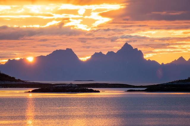
And then came the main show - hours of spectacular sunset.


(no looking through the ocular with the final minutes of the sun going below jagged mountains of Lofoten through a 250 mm Pentax lens)


24 July 2020

About seeing Rulten from Rulten

  July 24th Svolvær - Skutvik

When you name your boat after a mountain that is more that is more than 1400 km by road and 900 nm by boat  from your home getting the boat in position to take a photo with both the boat and the mountain in the same frame is a major goal. 

At 1062 very steep meters Rulten is regarded as around the 6th most difficult mountains to climb in Norway (the easiest route). So getting to the top isn't an option for an owerveight vertigo plagued sailor, my plan was instead to anchor in a bay somewhere in the vicinity to get nice shots from the dinghy or kayak with the boat and the mountain, but the chart plotter debacle prevented that this year.

As with many of the difficult or impressive mountains in Norway the first to climb Rulten was William Cecil Slingsby in 1903. Based on the number of articles and the pictures in them on climbing forums on internet climbing Rulten seems to be a real treat for individuals inclined for the crazy sport of mountaineering. 


To be honest I didn't even know that Rulten was a mountain when I named the boat. I took the name from a steam purse seiner owned by my great great grandfather and his sons fishery company owned between 1907 and 1934. The name was chosen because my grandfathers purse seiner was named Gjøa and I felt that I might be viewed as presumption with a boat with that name. Not because of my grandfathers boat, but a more famous Norwegian got another ship with the same name the same year (1907) and this Gjøa is one of the most merited expedition ship in history. 

I probably should explain the chart plotter debacle. This morning, when I was ready to sail off, after have briefly met sa friend that was on a cruise with tall ship Christian Radich, I couldn't get the chart plotter to read the map chip. I have had this problem before last at Nyvågar, but I have always been able to fiddle with the thing and get it to work. But this morning nothing helped. I tried borrowing a chip from another boat, he tried my chip in his plotter but nothing worked. Then i walked over to the Navico dealer in Svolvær, Hibotech. One of the technicians there came back and checked. In the end it turned out that it wouldn't be feasible to try to repair the chart plotter. Regrettably they didn't have a suitable Navico plotter in stock and the Raymarine the had wouldn't work with the WiFi thing on my boat. This being on a friday and I needing to turn back south soon instead of them ordering a new plotter they helped me contacting their competitor in Bodø so that I could have them order a new plotter for me, since they didn't have anything suitable in stock either. However ETA for the Simrad plotter that best suited my need would be around Wednesday the 29th. (three working days). Ideally a B&G plotter would have been even better, but I didn't  use the sailing specific function on my old plotter, that the Simrad would lack so no loss. 


After the photo session of Rulten I really turned the bow southwards and crossed over Vestfjorden to Skutvik. The actual northernmost point of the cruise was just off the dock inside the harbour of Svolvær at 68º14'N.


21 July 2020

Vågar - a lost medieval trading town in the high arctic

July 21st - July 22nd    Nyvågar - Svolvær

 According to written sources there were a town or city somewhere in Lofoten that for the first three or four centuries of the last millennium was the hub of the stockfish trade (and most other trade in norther Norway). And since stockfish was the main export from Norway in the same period it can be claimed to be the most important town in Norway. And this was at the time where Norway was at its most powerful. (Noregsveldir)


As an important market town it lost most of its importance in the latter part of the 14th century. But still remained an important fishing village, but even that dwindled and until no traces of the once important town was left.   In fact the disappearance so total that the Oslo/Bergen/Trondheim centric historians that ruled history research doubted whether it had existed at all. However archeological excavations in the fields south of what is today Lofoten museum in the 1990-ies has uncovered around 20 000 square meters of medieval "urban" development. 

I haven't found a coherent explanation for the demise, but as I gather there are several factors might have worked together. Much of the explanations I have found centres around beachable ships and boats becoming obsolete. The shallow bays on either side of Vågar was not suited for the new deeper draft ships. But it might seem that this explanation more explain the demise as a fishing village in the late 19th century than the demise of the market town in the 14th century. As I am allowed to make totally unscientific speculation on my blog I would like to link it to the loss of military and trading power of Norway due to the Black Death that killed a third of the population of Norway and the entire governing class. (nobility and all)

Still in the late 19th century the bay was lined with buildings but as a fishing village if was mainly housing for the seasonal fishermen (rorbuer). With the bay becoming unsuited and the bankruptcy of the Storvågan  trading house in 1901 the last buildings was demolished and the ground became farmland. The name of the place had evolved through time too.

As the old centre at Storvågan dwindled especially in the late 19th century the neighbouring Kabelvåg just a couple of kilometers away took over. And a centre with a more urban architecture appeared. 

As with most other Norwegian towns houses was built in wood and over time some of the houses has been lost to fires so much of what once was several city blocks of urban 19th century development is not that consistent any more.


However Kabelvågs importance also dwindled even this time due to modernisation of the fishing fleet. With the introduction of engines boats grew larger and draftier once again and the bays that are Kabelvågs harbour became to small and shallow even they and the main town of Lofoten moved once again a little longer this time to Svolvær.


I had lousy weather in Svolvær and did take any pictures, but at least I managed to pull a telezoom out and get an image of some climbers amending the famous Svolværgeita. 


20 July 2020

Orcas ep3

July 20th Nusfjord - Nyvågar

No wind today and quite grey.


As I passed outside Stamsund the sea behind me started to "boil" and through the binoculars I could see whales. Since I was motoring it was easy to turn around in hope of getting closer. It turned out to be a pod of orcas, at least one male (with the large dorsal fin) a couple of females and some calves. This is the third time I see orcas from the boat this year. Outside Frøya in may and two days ago. Taking pictures is a little hit and miss, but I succeeded acceptably with this calf jumping.


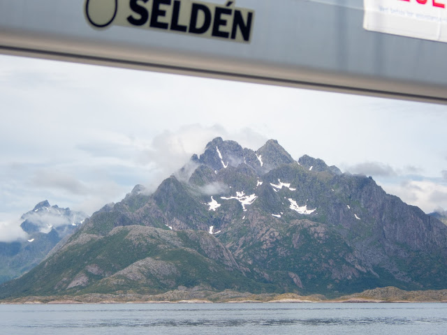
Outside the approach to Henningsvær there skies cleared enough to give a glimpse of the mountain Rulten from the boat Rulten

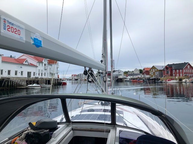
I didn't believe that there would be any free spaces in Henningsvær but I decided that when being in the vicinity with a boat I should cruise the main "street" anyway. 

As expected I ended up cruising up and down the sound that the houses  of Henningsvær are concentrated around. The sound is closed off at the southern end with a mole, thus the need to go both directions.

Since there were no free spots I continued and made a last minute decision to go to Nyvågar instead of Kabelvåg. Even if there were indications that there could be some too shallow areas around the marina, which there wasn't.